
01
On your server
LOCAL VISION
A fast on-server pass profiles each image on ordinary hardware — and is pluggable to a local object detector — so the expensive reasoning only runs on what matters.
- Fast
- Low-cost
- Structured output
00 Field intelligence / Kenya
Turn a photograph of any location into a structured business decision—what is there, what it means, who is competing nearby, and what to do next.
01 A camera that thinks
LOCBOT / RETAIL / MVP
Location assessment in Kenya still depends on sending someone out to walk, observe, take notes, and write a report. LocBot turns the camera already in every agent’s hand into a consistent intelligence layer.
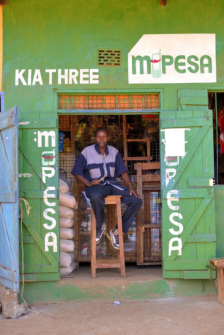
OPTICAL READ What is physically here
The vision read reports what is physically present. Interpreting what it means for the decision is a separate, deliberate step.
02 How LocBot reads a place
VISION → CONTEXT → DECISION
A deliberate division of labour keeps every capture fast and economical. The local model observes. Geographic data supplies context. Claude reasons.
On your server
A fast on-server pass profiles each image on ordinary hardware — and is pluggable to a local object detector — so the expensive reasoning only runs on what matters.
 −1.2864
GPS / REVERSE GEOCODING / NEARBY FEATURES / COUNTY CONTEXT
Reasoning layer
The detections, original image, and geographic evidence become a viability score, competitor read, operational forecast, and clear recommendation.
03 The decision
INTELLIGENCE CARD / 00:18

RETAIL VIABILITY
ILLUSTRATIVE ANALYSISStrong roadside visibility and active commercial movement. Validate pedestrian flow before committing to fit-out.
Proceed to a seven-day footfall validation. Position the entrance toward the main pedestrian approach and avoid direct price competition with established mini-markets.
04 Built for the field
OFFLINE FIRST / ANDROID FIRST
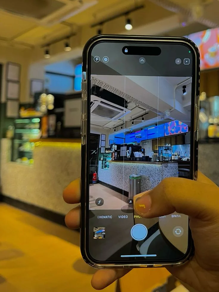
Photos, GPS, timestamp, compass heading, and notes queue locally. When connectivity returns, every capture resumes its route to an Intelligence Card.

05 One pipeline. Many field decisions.
13 SECTORS · LIVE
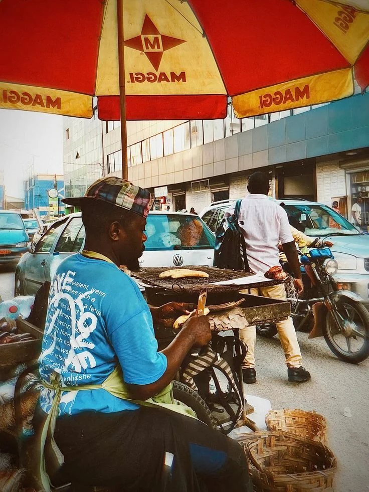
Storefront viability, nearby competition, access, visible demand, and rough setup economics.
06 Built to be sold, not just demonstrated
ORGANISATION SCOPED
For the agent, it is one capture button. For the organisation, it is scoped data, traceable evidence, role controls, and a repeatable decision process.
07 Start from what the field can see
Give your field teams the ability to turn what they see into what your organisation should do next.